Location: Carpark C and Peak Garden areas;
Date: Sat, 22 Feb 2025;
From WikiLoc:
Distance: 7.2km;
Elevation gain: 633m;
Highest point: 213m;
Round trip: about 4 hours (with 30 min of refreshment break at Peak Garden)
Trail Lead and Outline Created By: ah Lek 哥;
Team Lead: KC Leong.
Click Here for WikiLoc trail map.
Photo courtesy of 小強, Carrin Kan, Lina Loh
Click or tap on the images below for bigger display (actual file size).
Setia Alam Community Forest
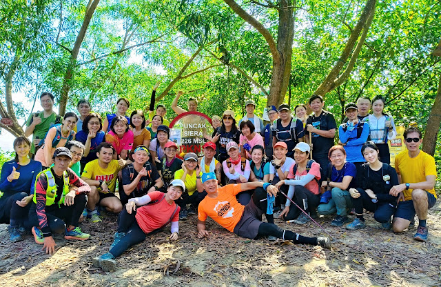
At Peak Garden
SACF "Camel Drinking Water" Outline Hike
I was chatting with Ah Lek gor while taking a breather this morning in the SACF hike. With a few other hikers, we chatted that this is Version 1 of the Camel Outline, and can be improved upon. Ah Lek gor suggested that I draw the outline with the trail map, then he will figure it out.
So I told him that I have analyzed the SACF trail map, but I just could not draw an outline based on existing trails. 😀
In the above map, the faint white lines are the existing trails in SACF.
A funny story - When we were ready to leave this station to return to carpark, Lina hurriedly asked me to take a photo with them. So I sat down, someone swiftly took the photo. I did not even realise that the bare-top guy (from another group) was still within the frame of the photo 😀. And then I was also a bit 'keng cheong' when leaving, I took his bamboo stick by mistake; then he said that was his... 😀By KC Leong
.jpg)


.jpg)

.jpg)
No comments:
Post a Comment